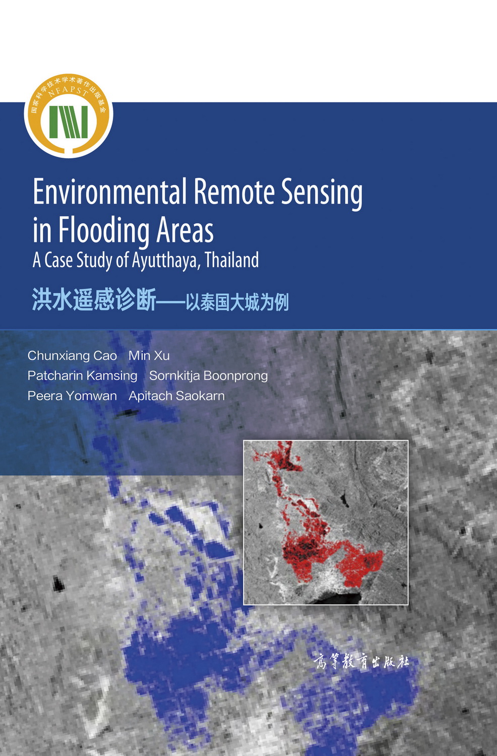
洪水遥感诊断——以泰国大城为例(英文版)
作者: 曹春香,徐敏等
出版时间:2021-03
出版社:高等教育出版社
- 高等教育出版社
- 9787040553178
- 1版
- 357395
- 47256510-0
- 精装
- 16开
- 2021-03
- 180
- 160
- 工学
- 测绘科学与技术
- 地学
- 研究生及以上
前辅文
Part I Flooding Identification Method
1 Geographical Characteristics of the Study Area
1.1 Characteristics of the Ayutthaya Province
1.2 Thailand Major Flood Event of 2011
1.3 Environmental Remote Sensing of Flooding Area
1.4 Summary
References
2 Datasets and Data Preparation
2.1 Remote Sensing Datasets and Preprocessing
2.1.1 Image Enhancement or Radiometric Correction
2.1.2 Georeferencing or Geometric Correction
2.2 Flood Water Quality Data
2.3 Morbidity Data
2.4 Summary
References
3 Flooding Identification by Vegetation Index
3.1 Flooding Identification from Multispectral Images
3.2 Flooding Identification from SAR Images
3.3 Multi-temporal Remote Sensing Data for Flooding Identification
3.4 Summary
References
4 Flooding Identification by Support Vector Machine
4.1 Support Vector Machine
4.2 Affecting Parameters of the SVM Classifier
4.3 Summary
References
5 Improved Support Vector Machine Classifier Through a Particle Filter Algorithm
5.1 Linear Dynamics Systems
5.1.1 Linear Continuous Systems
5.1.2 Discrete Linear Systems
5.2 Random Process and Stochastic Systems to Model State Estimation
5.2.1 Probability, Random Variables, and Their Statistical Properties
5.2.2 Statistical Properties of Random Processes and Random Sequence
5.2.3 Linear System Models of Random Processes and Random Sequences
5.3 Particle Filter Algorithm
5.4 A Support Vector Machine-Based Particle Filter (SVM-PF)
5.5 A SVM-PF Applied in the Study Area
5.6 Measured Results of the SVM-PF in Water Identification of Flooding Area
5.6.1 Reference Dataset
5.6.2 Accuracy Assessment
5.7 An In-House Classifier for All Land Cover—CANFET
5.7.1 Important Theories and Concepts
5.7.2 Original CANFET
5.7.3 Simplified CANFET
5.7.4 Direct-Matching CANFET
5.8 Summary
References
Part II Waterborne Diseases Caused by Flooding Disasters
6 Flood-Related Parameters Affecting Waterborne Diseases
6.1 Flood Parameters Derived from Multi-temporal Remote Sensing Data
6.2 Population Variables
6.3 Flood Water Quality
6.3.1 Inverse Distance Weighting for Spatial Distribution
6.3.2 Spatial Distribution of Dissolved Oxygen
6.4 Summary
References
7 Measure of Disease Risk
7.1 Waterborne Diseases Caused by Flooding
7.2 Disease Risk Assessment
7.3 Outbreak Detection Methods
7.4 Estimation of Outbreak Risk Using Risk Ratio Function
7.5 Summary
References
8 Modeling Outbreak Risk Based on the Back Propagation Neural Network (BPNN) Algorithm
8.1 Back Propagation Neural Network (BPNN)
8.2 A Multilayer Feed-Forward Neural Network
8.3 Back Propagation
8.4 Modeling Outbreak Risk Based on BPNN
8.4.1 Initial Analysis of Input and Reference Data
8.4.2 Results of Training and Testing the BPNN
8.5 Summary
References
9 Application of Surveillance of Communicable Disease Risk Using Expert Systems
9.1 Introduction to the Expert System
9.2 Integrated Expert System for Surveillance of Communicable Disease Risk
9.2.1 Expert System for Diagnosis Design
9.2.2 Expert System for Diagnosis Evaluation
9.3 Summary
References
10 Conclusions and Discussions
10.1 Summary of Major Results
10.1.1 Flood Identification
10.1.2 Waterborne Diseases Caused by Flooding Disasters
10.2 Further Work
References

